Categories
Images
Heading
IMS4 Maps
Section 1
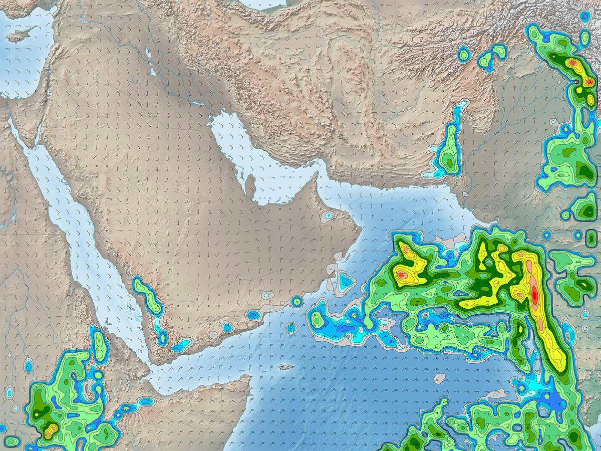
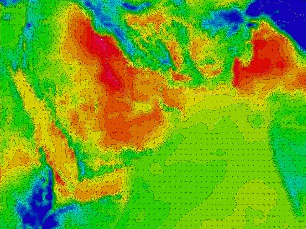
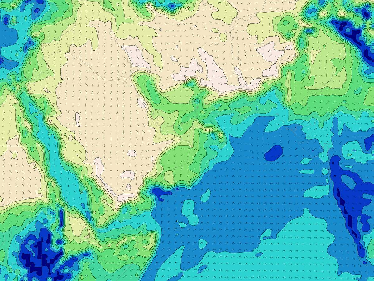
IMS4 Maps is a tool for processing, editing and sharing on the web of the geospatial data, both static data sets (topography) as well as current, historical or forecast, surface or upper air meteorological, climatological, hydrological, radiation and/or other environmental ones.
Unique name in URL
ims4_maps
Related products
Datasheets
Description
IMS4 Maps is a tool for processing, editing and web sharing of the geospatial data.